
That is Rincon Peak in the background. Can you see the frost on the windshield of my truck?

From our front door looking north-east... that snow on the tops of the Rincon Range won't last very long. So I got out early to make sure I captured the shot.

All our hopes of getting off to an early start last Thursday were frustrated by not being able to find the trail head. It is the second time that it eluded Chuck and me... and we were right there and didn't see it in the predawn darkness.

Kevin and Chuck posed for me as we got ready to start our hike on Thursday.

The first section on the Miller Creek Trail is very gentle with several creek crossings. There was no problem keeping our feet dry today, as we could easily walk across on large stones... but there could be times after a rain that it wouldn't be so easy.

It took us about 40 minutes to hike to the entrance to the Saguaro National Park, where I signed in for the three of us at 9:00 AM. Later I signed out when we got back at 4:30 PM.

Much of the trail today was in and around a lot of rocks. Notice the large Manzanita trees.

The higher we went the more rocks we encountered.

Sometimes the path goes around the rocks. Sometimes, like this the path goes over the rocks.

We stopped several times for a water break and a snack.

I also had to stop and take a few shots of the flowers and the incredible views. I was surprised to see this Beardlip Penstemon still blooming in December.

There were a lot of Rocky Mountain Pussytoes growing along with the grass.

This Rincon range is made up of a lot of rocks. Do you see the waterfall rocks?

This looks to me like a place where the water runs down the rock face and leaves a pretty interesting stain.

All the large rocks reminded me of Joshua National Monument near Palm Springs, California.

There didn't seem to be any shortage of these huge boulders.

It was here on this large rocky plateau that we stopped for our lunch. As we shared with each other some of our food we soon discovered that most of what we had brought with us came from Costco. The bread, the eggs and the mayonnaise that made the sandwiches, the nuts, the granola bars, the Kind bars, the fresh apples and oranges, the carrots and peppers... even my water came from Costco. All except my coconut and another energy snack Chuck brought.

Sometimes there were just a lot of little rocks, like these in the path.

As we came around a corner the sight of our goal was most impressive. Even though we knew we could not reach it today and still make it back by dark, it was pretty awesome to see it proudly standing tall.

This told us that we had come 4.4 miles from our starting point.
 From the Happy Valley Campground the peak was very visible thru the trees.
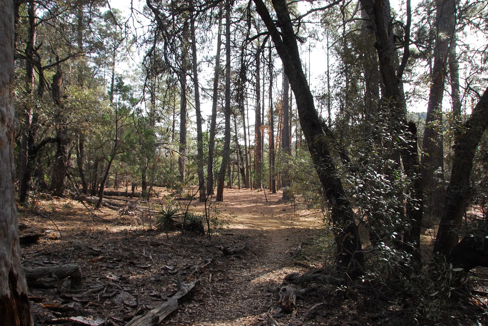
A path led to three large campsites in this stand of tall Ponderosa Pines.

There probably was room for more than three campsites, but likely not the need. Can you believe that someone carried a folding table over four miles up here?

The presence of these lockers suggest that there may be furry friends who may drop by for a snack as well.

We wanted to go just a little further so that we could see over the other side of the ridge towards Green Valley and Tucson... and hopefully get a good enough cel phone signal to call our wives.

We didn't have to go far from the campground to see this view.

We took each other's picture at the point where we turned around and headed back.

I seldom take as many photos on the way back from a hike... but these little Verbena were begging me to take their picture.

When we stopped for a snack and water break I noticed more Common Sotol... they are very plentiful along this trail.

Their stalks grow tall every summer...


This is the first time I have used the panorama feature on the iPhone. Can you see the windmills on the distant hills.

I couldn't either. But with the Nikon on full telephoto I could pull them in. They are a long, long ways away.

The folds in the hills with the random trees make an interesting composition.

This Manzanita has a lot of character. I love the shiny red bark. As it ages and starts to die the tree loses its pretty red bark and the wood takes on a weathered look.

These are the Manzanita leaves.

This Manzanita is hosting a little fungus.

We didn't see any Saguaro cactus on the hike today... but there were a few Cholla. This one was loaded with fruit.

What a pretty fruit when they turn from green to yellow with some orange.

No one was happier than Kevin to be getting back down the mountain.

They made the roundtrip hike to the top in about 9.5 hours...
about 16.5 miles. They met Chuck
thru his biking adventures... and they are also avid hikers.
Jerry shared a link for an app that I'm going to install on my iPhone... alltrails.com
It has over 50,000 trails with maps and great information... so
finding your way could not be easier. Check it out.
Next time we hike this mountain we will get off to a better start and should be
able to make it to the peak and back in one day before dark.
Or if I can find any friends to backpack in, I would enjoy going to the Happy Valley Campground the first
afternoon and then go to the peak the next day and spend some time there before
heading back off the mountain.
"What on earth would I do if four bears came into my camp?
Why, I would die of course. Literally shit myself lifeless."-Bill Bryson, "A Walk in the Woods"
No comments:
Post a Comment